Solutions: ARRES Eye
Automated pothole
detection & repair
prioritisation
Collect highly accurate road defect data to enable informed, efficient decisions.
Smarter road maintenance
for future cities
-

Survey and analyse road surface conditions without human intervention
-

Install on existing working vehicles like buses, maintenance vans or bin lorries
-

Automatically identify road defects including cracks, potholes and manholes
-

Objectively put repairs into priority order based on detailed data
-

Robot-as-a-Service (RaaS) means no large upfront costs. Plus, Robotiz3d maintain all hardware and software
A patent-pending,
unique solution

Collects data when travelling up to 60mph

Scans one lane at a time with a FoV up to 3.0m

Provides depth information and volumetrics

For use both day and night in any weather conditions

Provides highly accurate data on the defect and its location
The Control Tower:
Unrivalled road data
mapping & insights

Map view of road surface issues
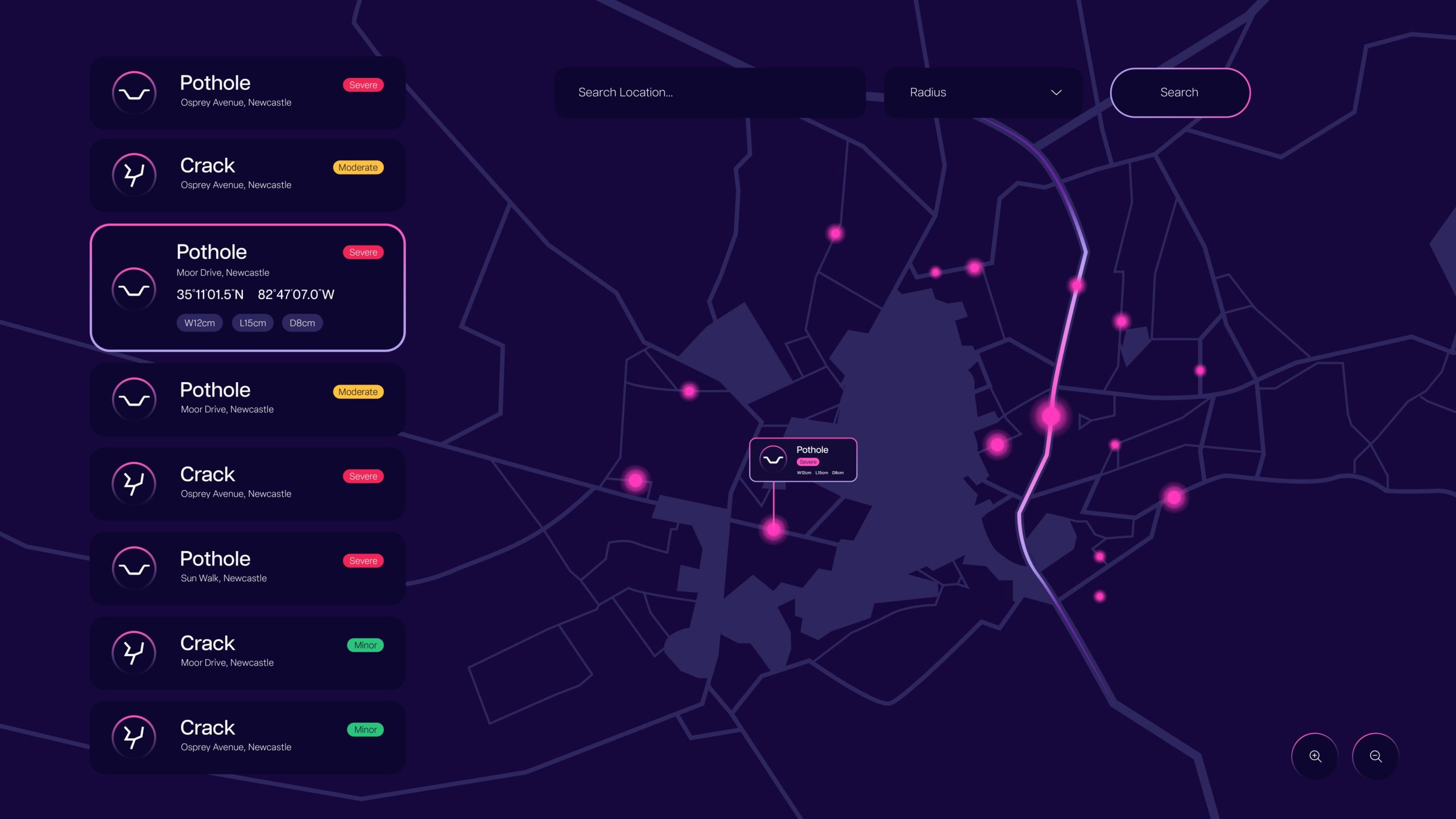

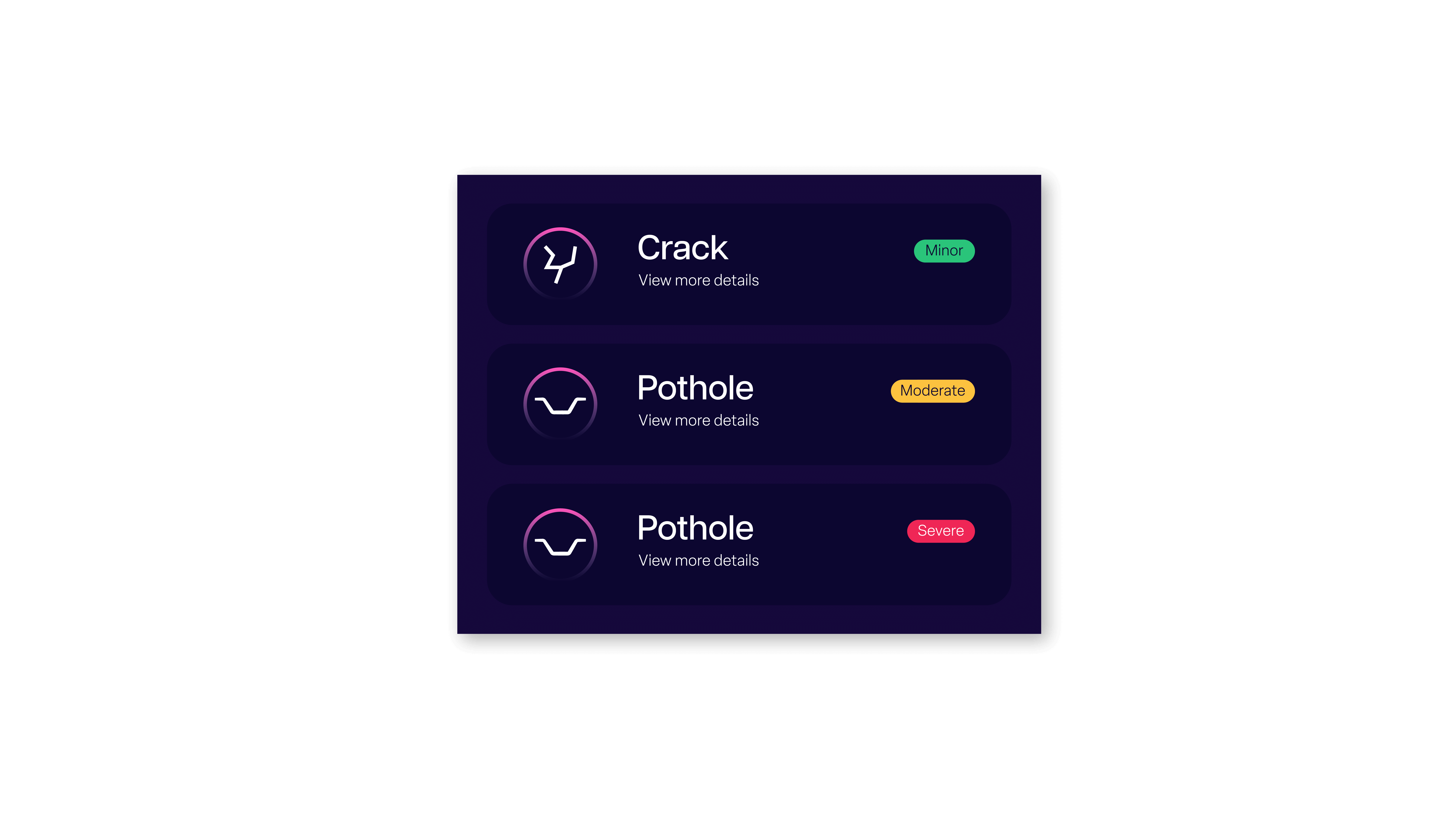
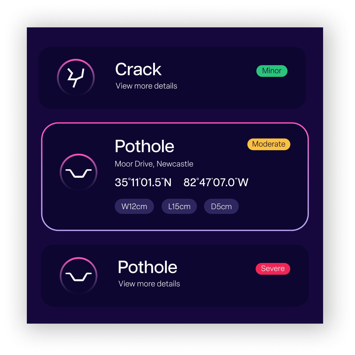
Automatically classify the types of defects


Automatically categorise and prioritise defects in order of severity

View LxWxD measurements of defects
Testimonials